Friday, August 31, 2012

Chilkoot Day 3...Sheep Camp to Happy Camp


Day 3.. Sheep Camp to Happy Camp
Up the Long Hilll


At Sheep Camp, the Park Ranger gave a presentation at the end of day 2. There was a concern about the avalanche risk on the Canadian side so they strongly suggested that we all be out of camp by 5:30 the next morning so we would be pass the snow sections prior to the sun heating this area.
Getting above tree line and looking down the valley

Our first look at the actual pass
So we were up early and on the trail well before the sun came into the valley. The first section is call the Long Hill…no surprise…it was a long hill. The elevation change was slight so while we knew we were going up hill, it was really pleasant. After a couple of hours, we moved above the tree line and could look back at the mountains and valley behind us. More artifacts and snow fields covered the path. It was pretty warm….T shirts and shorts weather and blue sky above.
Looking up


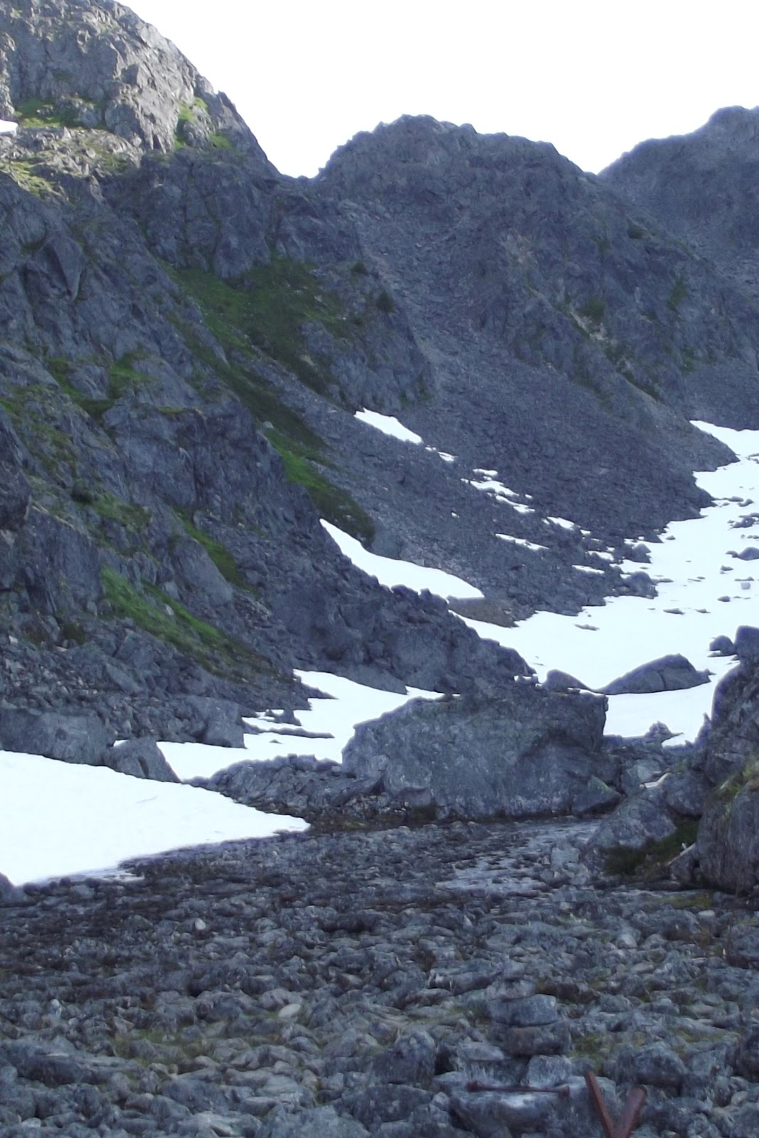
We got to the Scales (at the base of the summit climb) and reload and snacked in preparation of the steepest part of the trail. Large screen rocks and boulders for the next bit and no actual trail…just pick your best route. Hands and knees climbing.
Hands and Knees

Steep Climb


Outhouse with best view ever


Heading down to Crater Lake

Crater Lake

An hour or so later we were at the top and back into Canada. There was a lot of snow! There is a warm up shelter and an outhouse at the top so we stopped for lunch.


Looking back at the Summit


Snack time

Still lots of  snow


Many more snow patches and river crossings for the rest of the day. We finally arrived at Happy Camp around three in the afternoon after a nine hour hiking day. We did get the best camp site in all of Happy Camp.

Happy Camp!

Chilkoot Day 2...Canyon City to Sheep Camp


Day 2 Canyon City to Sheep Camp


There is a narrow canyon from Canyon City to Pleasant Camp so today’s hike was much tougher then the first day…however, it was only 8 km.


Lush forest


Pleasant Camp 
We were up and down many times. The weather was perfect…about 17 Celsius and sunny but the forest cover is so thick, we were in the shade all day.
Campsite at Sheep Camp

Bear Boxes and Cooking Tent

Lots of people in Sheep Camp...the last campground before the pass.

Chilkoot Day One...Dyea to Canyon City


We spent the day prior to hiking in Skayway. It is a tourist town with four cruise ships in town the day we left. There are some good little outdoors stores for last minute shopping.

Day 1
 We arranged for a ride to Dyea…the start of the trail and arrived there around 10:00. There are a few transport services in Skayway so it cost about $20 each for the ride.
The first km of the trail gets you blood pumping but after that it is a walk in the park to Finnigan’s Point. There is a beautiful wetland area with boardwalks that go on and on.

Boardwalks


There is camping at Finnigan’s Point but because we had an early start, we kept going to Canyon City…a distance of about 13 kms for the first day.

Hanging Glacier at Finnigan's Point


Canyon City consists of a log cabin and one cook tent. The weather was so pleasant everyone cooked outside. The cabins are for warm up and cooking, not sleeping. By the end of the day, there were about 35 people at Canyon City. Most of the group was on the same schedule as us so while during the day it was just the two of us, at the campsites it was mostly the same group.

Lush rain forest


We camped with eight Germans, eight Hungarians, and family from Montreal, a couple of doctors from Toronto, a Dad from Calgary with his nine year old son and two young 17 year olds from Whitehorse.

The cook tent at Canyon City
We took a little side hike, after we were all set up, to the actual Canyon City site. We hiked over the Tayia River suspension bridge to see an abandon boiler and other artifact from the gold rush days.


The day was about 13 km...cooked up some dinner and went to bed early with the sun still up.

Chilkoot Trail Planning


Chilkoot Pass

We hiked the Chilkoot the last weekend of July 2012. Pre-planning is a big part of a successful trip.
It is a busy hike so it is a good idea to look a long way into the season…so here are some hints.

The trail is 53 km long…horizontal measurement. The trail is no way horizontal with an elevation gain of 3600 feet and many ups and downs along the way.

Trail booking begins in February. Things to consider…
When you book you have to book the campgrounds you intend to stay at each night.
We took five days and stayed at Canyon City, Sheep Camp, Happy Camp and Bare Loon Lake.
Each day was about 10 – 13 km…that was about enough hiking for one day and gave us the opportunity to enjoy each day. We did meet people who were doing it faster but…really, what is the point. We stayed at Canyon City the first day as we got an early start that day for hiking. If you were going to start later in the day, Finnigan’s Point may be were you want to camp.

You need to work backwards….that being the trail finishes at Bennett train station. The only way out is to take the train and some days the train runs north to Carcross and some days it runs south to Log Cabin or Skagway. Depending on your transportation after the hike and where you plan on going will determine the day you end. It is coordinated that if you go to Carcross, there is a bus back to Skagway the same day.

The trail itself is fairly regulated. It is a National Park on both sides of the border. US National Park Service on the American side and Parks Canada on the Canadian side. There is no customs at the summit….you are to phone Customs when you get back to Canada.

Campsites are regulated too…given the number of people who hike the trail, this is a good idea. Each campsite has designated tent areas. Sheep Camp, Canyon City and Bare Loon Lake have actual tent platforms. Each site also has a cooking tent. Cooking food must be done at or around the cooking tents to limit the area that may attract bears…there is no cooking allowed at the tent pads. Each campground also has bear boxes…steel boxes to put your food in at night.

You are required to attend an orientation at the US Parks Office in Skagway prior to your trip. They will tell you all the things you need to know prior to the hike, give you your pass and check your passport. Be prepared…they will also tell you all the things that could go wrong…weather, bears etc…you will find yourself shopping afterwards picking up all the things you didn’t need.

We were fortunate enough to have great weather…only three hours of rain the whole five days…this is not normal.

It was a wonderful, fulfilling fives days. I will post a more detail trip log.

Sunday, June 10, 2012

Hiking the Crack Killarney Provincial Park


The Chilkoot is a month away so some serious training is required. I was thinking about a hike in Ontario that would be similar to going over the Chilkoot summit and thought about "The Crack" at Killarney Provincial Park.

It is only 6 km but has a 1200 ft change in elevation. So..on Saturday, we headed to the Park


The first bit was fairly easy. We loaded our packs full so we could get a sense of the weight we were going to be carrying.


Nice lakes along the way. White mountains in the background


The first significant climb....

Steeper still.....

  Looking up at the Crack


 Lots of splintered rocks


 ...now it was getting steep....


....and through the last uphill and the crack

 ...Great view!

 Lessons learned....put more weight in Linda's pack.....